Navigation

Maps Images & Structures Course Book

Maps Images & Structures Course Book

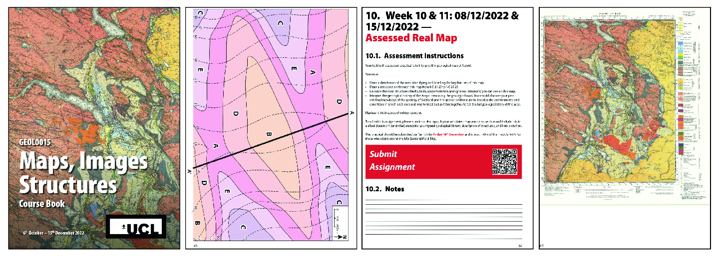
This course book I produced for the Maps, Images & Structures module supported the “flipped classroom” style in which the module was taught. The course book contained all the information necessary to complete the coursework and all the exercises that we worked on in class. It also contained other helpful information and links to other resources.


I’m Alex Clarke

I am a structural geologist working as a Postdoctoral Researcher at Johannes Gutenberg–Universität Mainz and a hobbyist girl-with-camera.

My research focuses on the heterogeneities within large faults, shear zones, and subduction zone mélanges — how to map them, quantify them, and explain their origins. I am especially interested in 3D reconstructions of rocks and outcrops which allow detailed, realistic, and quantifiable models of natural phenomena. I also love to teach and I am interested in innovative and engaging methods of teaching earth sciences, both in the classroom and in the field.

In my free time, I enjoy photography and my images reflects my love of nature and the diverse forms nature can take.